Schematic UK Postcode Map
near United Kingdom
View Location
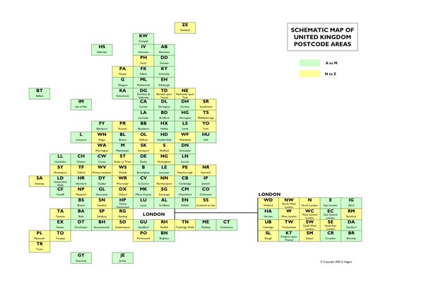
Shows all postcode areas in the United Kingdom in shape of UK with London extracted.
See more
 See more
Nearby Maps

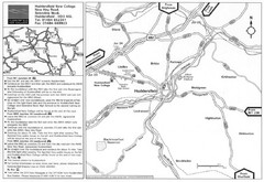
Huddersfield New College Location Map
7 miles away
Near New Hey Road, Huddersfield, England

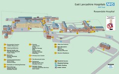
Rossendale Hospital Map
Campus map of hospital
12 miles away
Near Haslingden Road, Rossendale, Lancashire, England

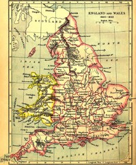
1660-1892 England and Wales Map
Guide to England and Wales from 1660-1892, showing topographic information
13 miles away
Near Britain

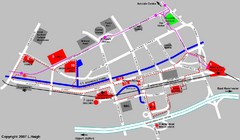
Manchester Map
14 miles away
Near Manchester

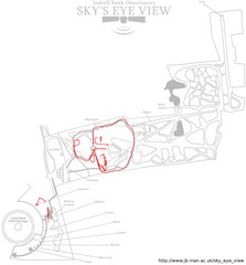
Jodrell Bank Observatory Map
Map of the Jodrell Bank Observatory. Shows location of parking lot, layout of the observatory...
15 miles away
Near Manchester, England

 click for
 Fullsize


0 Comments
New comments have been temporarily disabled.