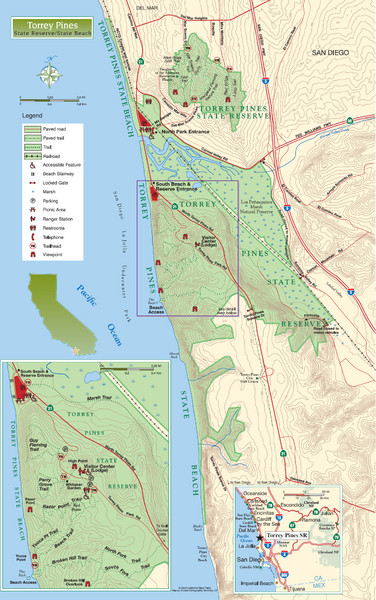
Torrey Pines State Beach and Reserve Map
near La Jolla, California
View Location
Topo map of Torrey Pines State Beach and Reserve near San Diego, CA. Rated the #9 beach in America by TripAdvisor.com, 2008
See more
 See more
Nearby Maps

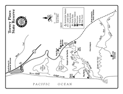
Torrey Pines State Reserve Trail Map
Map of park with detail of trails and recreation zones
less than 1 mile away
Near 12600 N. Torrey Pines Rd, San Diego, CA

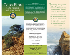
Torrey Pines State Park Map
Map of park with detail of trails and recreation zones
less than 1 mile away
Near 12600 N. Torrey Pines Rd, San Diego, CA

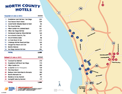
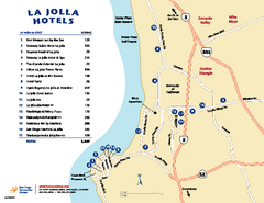
North County San Diego Tourist Map
Tourist map of North County area of San Diego, with hotel listings
7 miles away
Near North County Coastal, San Diego, CA

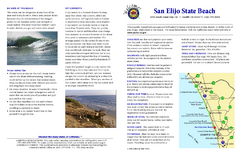
San Elijo State Beach Campground Map
Map of campground region of beach and park with detail of trails and recreation zones
8 miles away
Near 2050 South Coast Highway 101, Cardiff, CA

 click for
 Fullsize


0 Comments
New comments have been temporarily disabled.