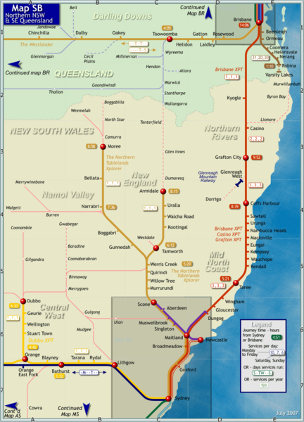
Northern New South Wales Map
near Northern New South Wales, Australia
See more

 See more
Nearby Maps

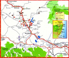
Upper Hunter Valley Tourist Map
Tourist map of Upper Hunter Valley around Muswellbrook, NSW, Australia. Shows horse studs, tourist...
63 miles away
Near Muswellbrook, NSW

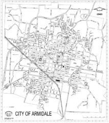
City Of Armidale Map
Large road map clearly marking streets throughout this wonderful city.
69 miles away
Near Armidale, Australia

The University of Sydney, Narrabri Campus Map
100 miles away
Near University of Sydney, Narrabri

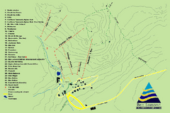
Ben Lomond Ski Trail Map
Trail map from Ben Lomond.
101 miles away
Near Ben Lomond, NSW 2365, Australia

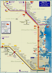
Hunter Valley Rail Map
Map of rail system throughout Hunter Valley, New South Wales Central Coast, and Blue Mountains
111 miles away
Near Hunter Valley, Australia

 click for
 Fullsize

0 Comments
New comments have been temporarily disabled.