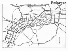
Edit this map

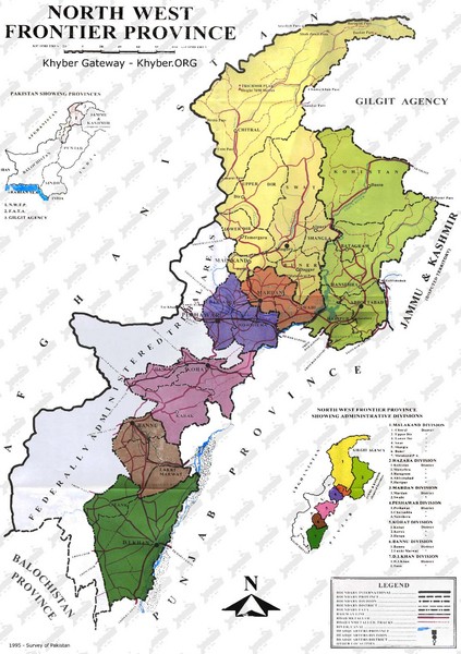
NWFP Division Map

near Pakistan

View LocationView Map

33.2846199688877 72.8173828125 5 satellite
Nearest Map »  Fullsize
1383 × 1964319 KBJPG

Federally administered tribal area divisions in Pakistan as of 1995.

Created 1995 by Survey of Pakistan
From www.khyber.org

Denis added
Apr 11, 2009

Rating
no ratings

See an error? Report it.

Keywords

reference, pakistan, taliban, afghanistan, tribal areas, balazak, road, peshawar, pakistan, buner, buner, punjab

0 Comments

New comments have been temporarily disabled.
See more

Nearby Maps

Islamabad Map

Islamabad Map

31 miles away

Near Islamabad
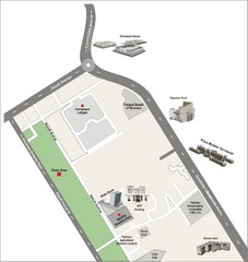
Overseas Pakistanis Foundation Ministery Map

Overseas Pakistanis Foundation Ministery Map

32 miles away

Near Islamabad
Keywords: reference
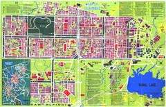
Islamabad Map

Islamabad Map

Street map of Islamabad; shows all buildings. Breakout map of central Rawalpindi.

32 miles away

rated 3.87 by 8 people
Near Islamabad, Pakistan
Islamabad  City Map

Islamabad City Map

City map of Islamabad, Pakistan

32 miles away

rated 5 by 1 person
Near Islamabad, Pakistan
Peshawar City Map

Peshawar City Map

City map of Peshawar, Pakistan. Scanned.

88 miles away

rated 3.75 by 4 people
Near Peshawar, Pakistan
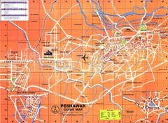
Peshawar Map

Peshawar Map

Guide to Peshawar, Pakistan

88 miles away

Near Peshawar, Pakistan
See more