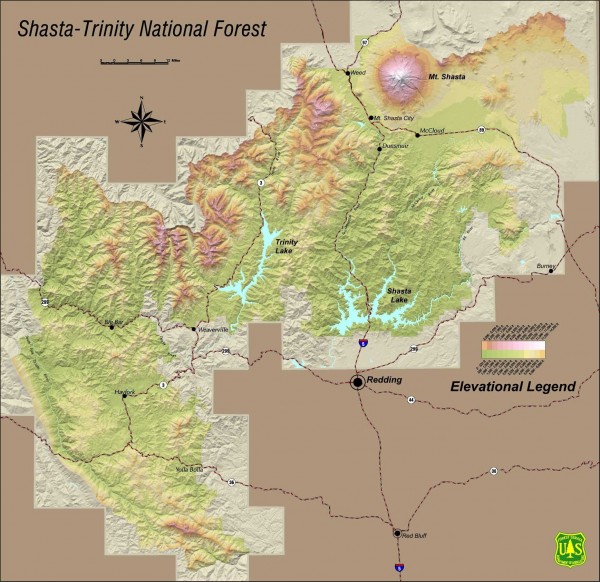
Shasta Trinity National Forest Elevation Map
near Lakehead, California
See more
 See more
Nearby Maps

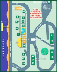
Tsasdi Resort - Shasta Lake Map
Map of the grounds of Tsasdi Resort, lakehead, CA.
3 miles away
Near lakehead, ca

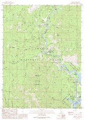
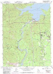
Lamoine Quad - Shasta Lake Map
Topographic map, Lamoine Quadrangle, California 1990. Area of map includes a portion of Shasta Lake...
6 miles away
Near lakehead, ca

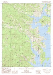
Bohemotash Mountain Quad - Shasta Lake Map
Topographic map, Bohemotash Mountain Quadrangle, California 1990. Area of map includes a portion of...
6 miles away

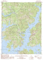
O'Brien Quad - Shasta Lake Map
Topographic map, O'Brien Quadrangle, California 1990. Area of map includes a portion of Shasta...
7 miles away
Near shasta dam

Shasta Dam Quad - Shasta Lake Map
Topographic map, Shasta Dam Quadrangle, California 1969. Area of map includes a portion of Shasta...
8 miles away
Near shasta dam

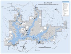
Shasta Unit - Whiskeytown-Shasta-Trinity National...
Map of Shasta Lake, California, showing roads, campgrounds, marinas and resorts, hiking and biking...
9 miles away
Near shasta dam, ca

 click for
 Fullsize


0 Comments
New comments have been temporarily disabled.