Edit this map

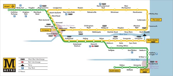
Tyne and Wear Metro Route Map

near Tyne and Wear, England

View LocationView Map

54.8623327975114 -1.42800807952881 15 satellite
Nearest Map »  Fullsize
3193 × 1408446 KBJPG

Map of metro transit routes throughout Tyne and Wear

Created by Nexus
From nexus.org.uk

darr3n added
Apr 7, 2009

Rating
no ratings

See an error? Report it.

Keywords

transportation

0 Comments

New comments have been temporarily disabled.
See more

Nearby Maps

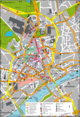
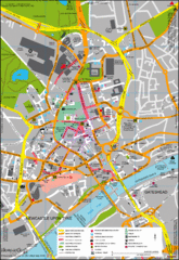
Newcastle Upon Tyne City Map

Newcastle Upon Tyne City Map

City map of Newcastle Upon Tyne with tourist information and some of Gateshead

10 miles away

Near Newcastle Upon Tyne, United Kingdom
Keywords: tourism, city, gateshead
Newcastle Map

Newcastle Map

Map of city center

11 miles away

Near Newcastle, England
Keywords: reference
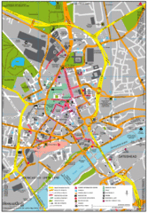
Newcastle City Map

Newcastle City Map

City center map of Newcastle Upon Tyne, UK

11 miles away

Near Newcastle, UK
Keywords: tourism, city
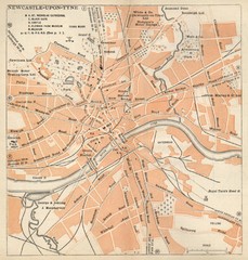
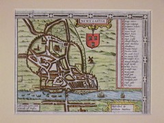
1611 Newcastle-Upon-Tyne Historic Map

1611 Newcastle-Upon-Tyne Historic Map

Guide to historic Newcastle upon Tyne

11 miles away

Near Newcastle Uk
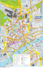
Newcastle Tourist Map

Newcastle Tourist Map

Tourist map of central Newcastle Upon Tyne, UK. Shows points of interest.

11 miles away

rated 2 by 1 person
Near Newcastle, UK
Keywords: tourism, city, england, uk
Newcastle upon Tyne Map

Newcastle upon Tyne Map

1920 Michelin Map to Newcastle upon Tyne, UK

11 miles away

Near Newcastle upon Tyne, UK
See more