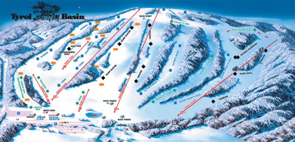
Tyrol Basin Trail Map
near 3487 Bohn Road, Mt Horeb, WI 53572
See more
 See more
Nearby Maps

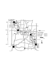
Sugar River Map
Towns, roads and rivers are all clearly marked on this map.
15 miles away
Near Sugar River, WI, USA

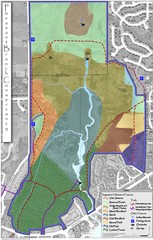
Pheasant Branch Conservancy Vegetation Map
Vegetation map of the Pheasant Branch Conservancy in Middleton, Wisconsin. Shows vegetative...
15 miles away
Near Middleton, Wisconsin

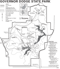
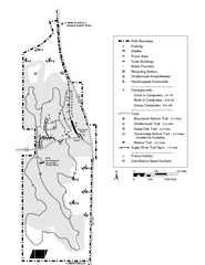
Governor Dodge State Park Map
Bike, Horse, trek, and recreational locations marked on this map.
16 miles away
Near Governor Dodge State Park, WI, USA

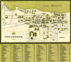
University of Wisconsin-Madison Campus (1964...
University of Wisconsin-Madison (1964) Visitor's Map
18 miles away
Near Madison, Wisconsin, USA

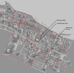
University of Wisconsin-Madison Campus Map
Map of the University of Wisconsin Campus. Includes all buildings, streets, and auditoriums.
18 miles away
Near Madison, Wisconsin, USA

New Glaris Woods Map
Marked bathroom stops, trails, ect.
19 miles away
Near New Glaris Woods, WI, USA

 click for
 Fullsize


0 Comments
New comments have been temporarily disabled.