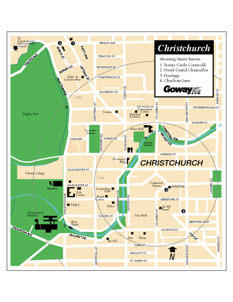
Christchurch Street Map
near Christchurch, New Zealand
See more
 See more
Nearby Maps

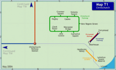
Christchurch Rail Map
Rail map of Christchurch local tramway system
less than 1 mile away
Near Christchurch, New Zealand

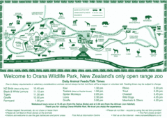
Orana Wildlife Park Map
8 miles away
Near McLeans Island Road, Christchurch, New Zealand

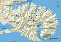
Banks Peninsula Map
Map of Banks Peninsula, with detail of bays and reserves
21 miles away
Near Banks Peninsula, New Zealand

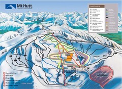
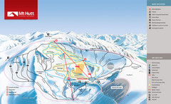
Mt. Hutt Ski Trail Map
Trail map from Mt. Hutt.
51 miles away
Near Mount Hutt, Canterbury 7782, New Zealand

Broken River Trail Map
52 miles away
Near Broken River, New Zealand

 click for
 Fullsize

0 Comments
New comments have been temporarily disabled.