Edit this map

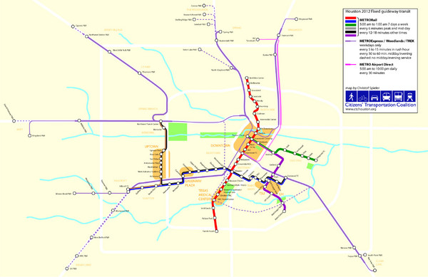
2012 Houston Metro Map

near Houston, TX, USA

View LocationView Map

29.759956 -95.362534 12 satellite
Nearest Map »  Fullsize
2549 × 16521.2 MBJPG

Future rail system to help you move around Houston with ease.

Created by Christof Spieler
From swamplot.com

soph_brown added
Mar 20, 2009

Rating
no ratings

See an error? Report it.

Keywords

transportation, downtown, houston, beltway, 8, and, highway59

0 Comments

New comments have been temporarily disabled.
See more

Nearby Maps

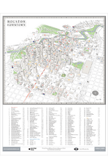
Houston Downtown Map

Houston Downtown Map

3D aerial map of downtown Houston, Texas. Shows skyscrapers and points of interest.

0 miles away

rated 4 by 2 people
Near Houston, TX
2012 Houston Transit System Map

2012 Houston Transit System Map

0 miles away

Near Houston, TX, USA
Keywords: transportation
Houston Street and House level Map

Houston Street and House level Map

Houston topo map with streets, buildings, towns

0 miles away

Near Houston, texas
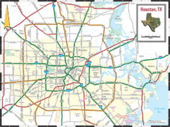
Houston, Texas City Map

Houston, Texas City Map

0 miles away

Near Houston, Texas USA
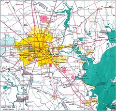
Houston City Map

Houston City Map

0 miles away

Near houston
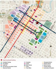
Downtown Houston Map

Downtown Houston Map

Street map of downtown Houston

less than 1 mile away

Near Houston, Texas
See more