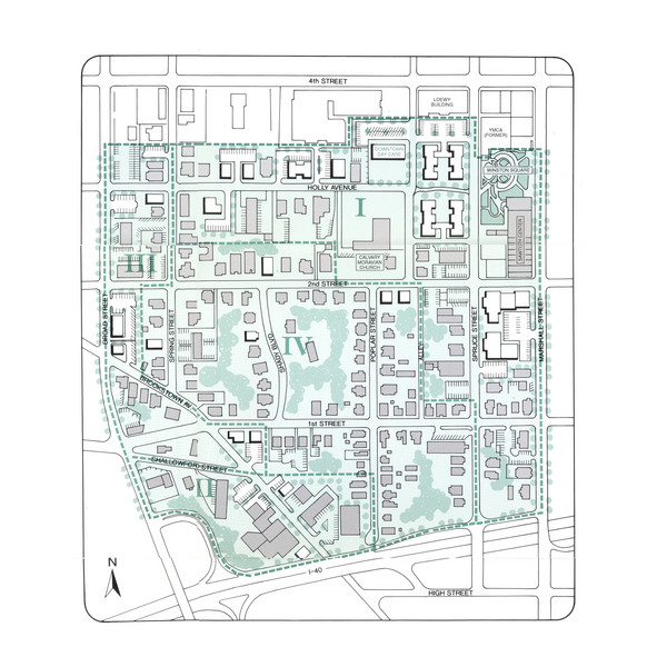
Downtown Wiston-Salem Map
near 305 W. Fourth St., Winston-Salem, NC, USA
View Location
The Holly Avenue neighborhood located on the southwestern edge of downtown Winston-Salem has several projects underway in the adjacent areas, such as the new Baseball Park, West End Village (multiple phases), and major expansion and renovations to the historic Sawtooth Building into the Downtown Arts Center.
See more
 See more
Nearby Maps

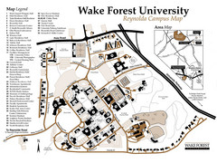
Wake Forest University Map
Campus map of Reynolda Campus
3 miles away
Near 1834 Wake Forest Road, Winston-Salem, NC

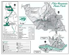
Pilot Mountain State Park map
Detailed recreation map for Pilot Mountain State Park in North Carolina
19 miles away
Near Pinnacle, NC 27043

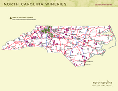
North Carolina Wine Map
Map of North Carolina wineries. 2nd page of PDF has winery listings
20 miles away
Near Thomasville, North Carolina

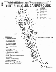
Hanging Rock, campground site map
Hanging Rock State park, map of family campground sites
20 miles away
Near Danbury, North Carolina

Hanging Rock State Park map
Detailed recreation map for Hanging Rock State Park in North Carolina
20 miles away
Near Danbury, NC 27016

Hanging Rock state park Map
Interior color map of Hanging Rock State Park.
21 miles away
Near Danbury, North Carolina

 click for
 Fullsize


0 Comments
New comments have been temporarily disabled.