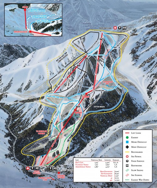
Sundance Ski Trail Map
near Sundance, Utah 84604
See more
 See more
Nearby Maps

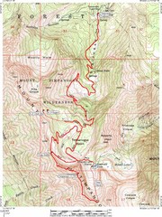
Mount Timpanogos Trail Map
Trail map of Mount Timpanogos 11,749 feet, in the Mount Timpanogos Wilderness Area, Utah. One of...
4 miles away
Near Mount Timpanogos, Utah

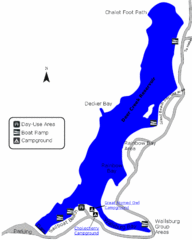
Deer Creek State Park Map
Deer Creek State Park lies in the southwest corner of beautiful Heber Valley and consistently...
6 miles away
Near Deer Creek State Park, UT, USA

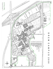
Utah Valley State University Map
Utah Valley State University. All areas shown.
8 miles away
Near Orem, Utah

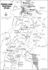
Provo, Utah City Map
9 miles away
Near Provo, Utah

Brigham Young University Map
Campus Map of Brigham Young University in Utah. All buildings shown.
9 miles away
Near Provo, UT

 click for
 Fullsize


0 Comments
New comments have been temporarily disabled.