Edit this map

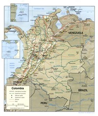
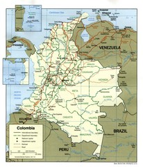
Colombia Political Map

near Colombia

View LocationView Map

4.570868 -74.297333 5 satellite
Nearest Map »  Fullsize
1355 × 1871265 KBJPG

Political map of Colombia. Shows departamental capitals. In Spanish.

Created 1999
From questconnect.org

scott added
Jan 4, 2008

Rating
rated 2.5 by 2 people

See an error? Report it.

Keywords

reference, political, equator, borders of colombia

0 Comments

New comments have been temporarily disabled.
See more

Nearby Maps

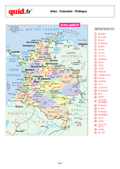
Colombia Regional Map

Colombia Regional Map

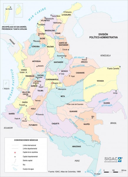
Map of various regions and main cities of Colombia

less than 1 mile away

Near Colombia
Keywords: reference, country, city, town
Colombia Regional Map

Colombia Regional Map

Country map with detail of regional divides

less than 1 mile away

Near Colombia
Colombia Country Map

Colombia Country Map

less than 1 mile away

Near Colombia
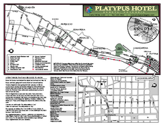
Bogota Bicycle Map

Bogota Bicycle Map

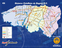
Bike map of Bogota.

15 miles away

Near Bogota
Keywords: tourism, bike
Bogota City Map

Bogota City Map

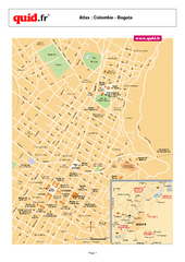
Map of city center

15 miles away

Near Bogota, Colombia
Keywords: reference, city, town
Bogota Map

Bogota Map

15 miles away

Near Bogota
Keywords: transportation
See more