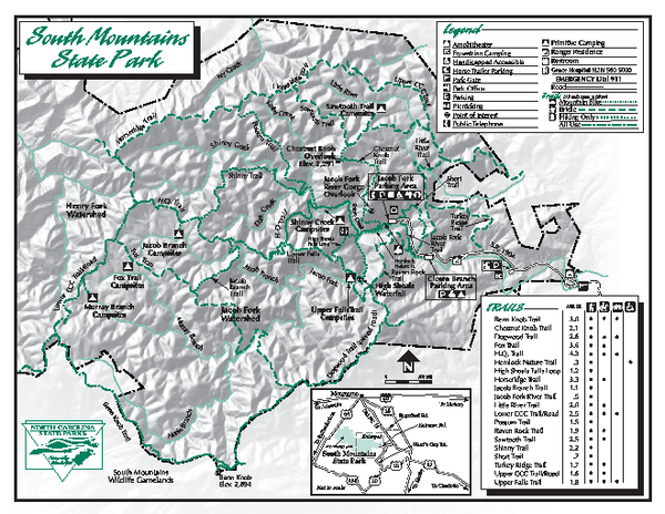
South Mountains State Park map
near Connelly Springs, NC 28612
See more

 See more
Nearby Maps

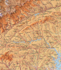
North Carolina Mountains Map
Location of the South, Brushy, and Blue Ridge Mountain ranges in Western North Carolina.
20 miles away
Near Hickory, North Carolina

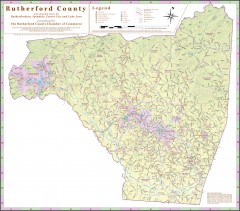
Tourist map of Rutherford County
Map of Rutherford County with detail panels for Rutherfordton, Spindale, Forest City, and Lake Lure.
22 miles away
Near rutherfordton, north carolina

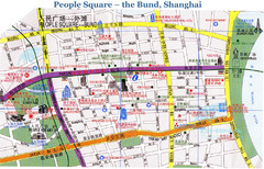
Bund Shanghai Tourist Map
29 miles away
Near Shanghai

Panoramic View of Roan to Grandfather Map
This panorama takes in the vista from Roan to Grandfather mountain - overlooking the upper Linville...
33 miles away
Near crosnore, north carolina

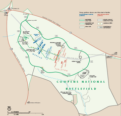
Cowpens National Battlefield Official Map
Official NPS map of Cowpens National Battlefield in South Carolina. Open 9:00 a.m. - 5:00 p.m...
34 miles away
Near Cowpens National Battlefield

Kings Mountain National Military Park Official Map
Official NPS map of Kings Mountain National Military Park in South Carolina. Open Daily 9:00 a.m...
36 miles away
Near Kings Mountain National Military Park

 click for
 Fullsize


0 Comments
New comments have been temporarily disabled.