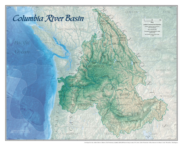
Columbia River Basin Map
near Columbia River, USA
See more
 See more
Nearby Maps

Ferguson Ridge Ski Trail Map
Trail map from Ferguson Ridge.
26 miles away
Near Ferguson Ridge, Wallowa, Oregon 97846

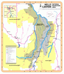
Hells Canyon National Recreation Area Map
Official Forest Service map of the Hells Canyon National Recreation Area. Shows roads, trails...
29 miles away
Near Hells Canyon National Recreation Area

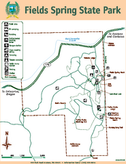
Fields Spring State Park Map
Map of park with detail of trails and recreation zones
38 miles away
Near 992 Park Road, Anatone, WA 99401

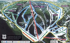
Bluewood Ski Trail Map
Trail map from Bluewood, which provides downhill, nordic, and terrain park skiing. It has 3 lifts...
40 miles away

Bluewood Ski Trail Map
40 miles away
Near Dayton, WA

Map of Wolverine Sightings: 1886 -- 1998
47 miles away
Near Seven Devils Mountains, ID

 click for
 Fullsize


0 Comments
New comments have been temporarily disabled.