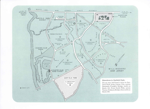
Willingboro Map
near Willingboro, NJ
See more
 See more
Nearby Maps

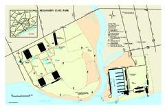
Neshaminy State Park map
Detailed recreation map of Neshaminy State Park in Pennsylvania
4 miles away
Near Bensalem, PA 19020-5930

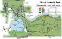
Smithville Park Trail Map
8 miles away
Near Smithville Park, Eastampton, NJ

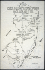
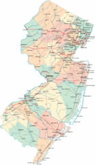
New Jersey Tourist Map
Hand drawn tourist map of state of New Jersey, 1955.
9 miles away
Near New Jersey

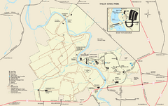
Tyler State Park map
Detailed recreation map for Tyler State Park in Pennsylvania
15 miles away
Near Newtown, PA 18940-1151

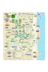
Historic Philadelphia, Pennsylvania Map
Map of historic area in Philadelphia, Pennsylvania, showing churches, museums, and other historical...
15 miles away
Near Philadelphia, PV

 click for
 Fullsize


0 Comments
New comments have been temporarily disabled.