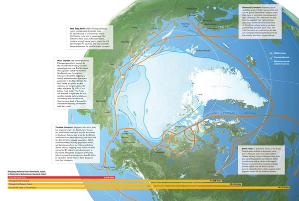
Northwest Passage Map
near Greenland
View Location
The ways travel could change if the Northwest Passage were to be re-opened
Tweet
See an error? Report it.
Keywords
reference, northern hemisphere, northwest passage, europe, russia, canada, greenland, global warming, climate change See more

 See more
Nearby Maps

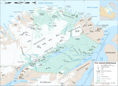
Parc National Quttinirpaaq Map
Map of Quttinirpaaq National Park, Nunavut, Canada. Shows glaciers, rivers, bodies of water, and...
266 miles away
Near Parc National Quttinirpaaq, Nunavut, Canada

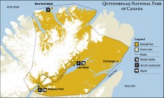
Quttinirpaaq National Park map
Official Parks Canada map of Quttinirpaaq National Park. From Parks Canada website: "Far to...
267 miles away
Near Hazen Camp, Canada

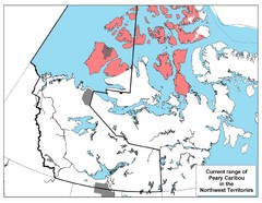
Peary Caribou Range Map
370 miles away
Near Northwest Territories

Sirmilik National Park Map
Official map of Sirmilik National Park in Nunavut, Canada. Comprises Borden Peninsula, Bylot...
453 miles away
Near Pond Inlet, Canada

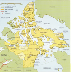
Nunavut Map
Map of Nunavut, Canada. Shows parks and geographical features in the territory.
464 miles away
Near Nunavut, Canada

 click for
 Fullsize


1 Comments
amazing and disturbing map. wish that people would just leave the Arctic alone though.