Prague Public Transport Map
near Prague
See more
 See more
Nearby Maps

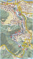
Transportation near Prague Map
Locations and destinations of transportation in and near Prague
0 miles away
Near Near Prague

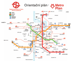
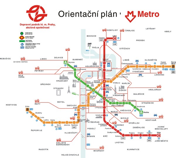
Prague Metro Map
0 miles away
Near Prague

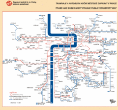
Prague Night Public Bus Tram Map
0 miles away
Near Prague, Czech Republic

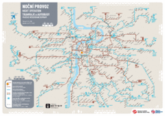
Tram Night Operation Map
0 miles away
Near Prague, Czech Republic

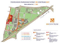
BB Centrum Map (Czech)
BB Centrum is one of the largest and most successful developments in the Czech Republic. This new...
0 miles away
Near Prague, Czech Republic

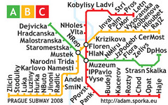
Prague Metro Map 2008 (for small displays)
Small version of Prague metro map of mobile phones, etc.
0 miles away
Near Prague

 click for
 Fullsize


0 Comments
New comments have been temporarily disabled.