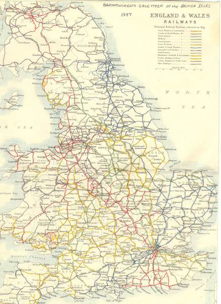
1887 - Prinicipal Railways in England and Wales Map
near England
See more
 See more
Nearby Maps

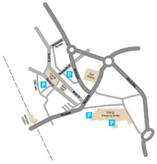
Wakefield Center Street Map
Crude street map of center of Wakefield, UK.
2 miles away
Near Wakefield, UK

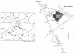
University of Leeds Campus Map
Various buildings on the University of Leeds campus
7 miles away
Near Leeds

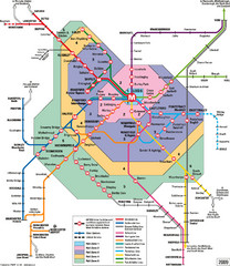
Leeds Metro Train Diagram Map
Metro system map for Leeds, England and surrounding cities.
8 miles away
Near Leeds, England

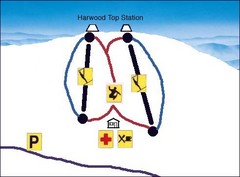
Harwood Sketch Ski Trail Map
Trail map from Harwood.
9 miles away
Near 52 Lea Rd, Batley, West Yorkshire, WF17 8BB...

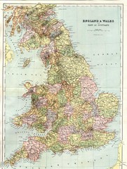
England and Wales Map
Guide to England, Wales and part of Scotland, showing counties
10 miles away
Near Great Britain

 click for
 Fullsize


0 Comments
New comments have been temporarily disabled.