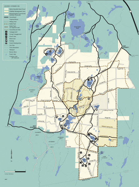
Myles Standish State Forest summer trail map
near Myles Standish State Forest, MA
View Location
Map of all the trails and roads in Myles Standish State Park, MA. 15 miles of bicycle trails, 35 miles of equestrian trails and 13 miles of hiking trails take visitors deep into the forest, which includes one of the largest contiguous pitch pine/scrub oak communities north of Long Island.
See an error? Report it.
Keywords
recreation, park, forest, biking, hiking, camping, ponds, rocky, pond, plymouth, topographic, map, massachusettsNearby Maps
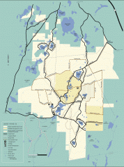
Myles Standish State Forest winter trail map
Winter activity map of all the trails and roads in Myles Standish State Park, MA. Cross country...
0 miles away
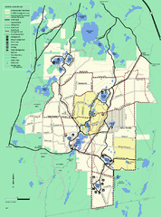
Myles Standish State Forest trail map
Summer trail map for Myles Standish State Forest.
less than 1 mile away
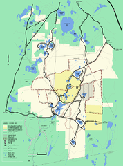
Myles Standish State Forest Winter trail map
Myles Standish State Forest winter use trail map.
less than 1 mile away
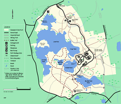
Massasoit State Park trail map
Trail map of Massasoit State Park in Massachusetts
16 miles away
Freetown State Forest Map
Freetown State Forest Map showing mountain biking trails
20 miles away
Freetown-Fall River State Forest trail map
Trail map of Freetown-Fall River State Forest in Massachusetts
20 miles away

 click for
 Fullsize


2 Comments
There is also a winter activity map for cross country skiing and snowmobile trails. See this map on mappery
If you are on a bike, steer clear of the unpaved roads crossing the park like Federal Pond Rd. They are really loose sand and make for miserable biking. Stick to the paved bike paths that wind around a bit never far from the paved roads.