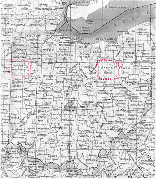
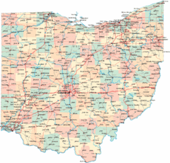
Ohio County Map
near Ohio
See more
 See more
Nearby Maps

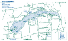
Buckeye Lake State Park map
Detailed recreation map for the Buckeye Lake area in Ohio
13 miles away
Near Millersport, OH 43046

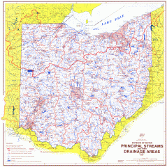
Ohio Watersheds Map
Principal Streams and their Drainage Areas. Based on map by C. E. Sherman, July 1925
23 miles away
Near Ohio

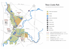
Three Creeks Park Map
31 miles away
Near 3860 Bixby Road, Groveport, Ohio

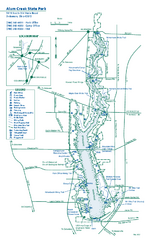
Alum Creek State Park map
Recreational map for Alum Creek State Park in Ohio
31 miles away
Near delaware, ohio 43015

Mohican State Park map
Detailed recreation map for Mohican State Park in Ohio
33 miles away
Near Loudonville, Ohio 44842

 click for
 Fullsize


0 Comments
New comments have been temporarily disabled.