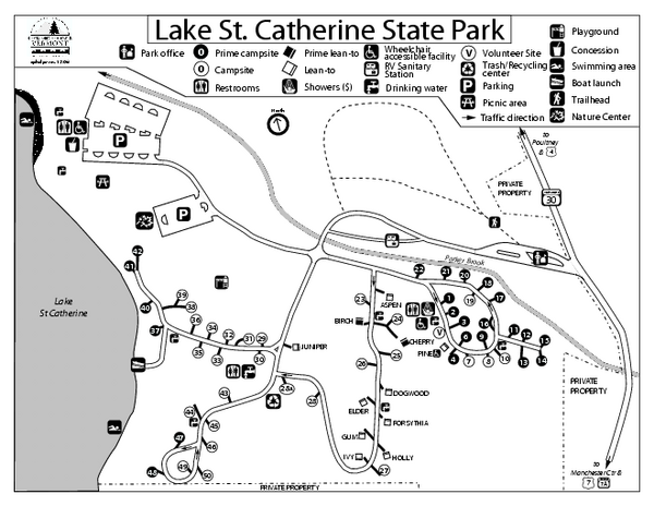
Lake St. Catherine State Park Campground Map
near Poultney, Vermont 05764
See more

 See more
Nearby Maps

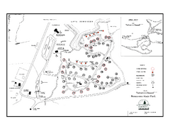
Bomoseen State Park map
Campground map of Bomoseen State Park in Vermont
13 miles away
Near Fair Haven, Vermont 05743

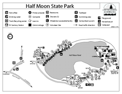
Half Moon State Park Campground Map
Campground map of Half Moon State Park in Vermont
15 miles away
Near Hubbardton,Vermont 05743

Emerald Lake State Park Map
17 miles away
Near Emerald Lake Park

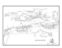
Emerald Lake State Park Campground Map
Campground map of Emerald Lake State Park in Vermont
17 miles away
Near East Dorset, Vermont 05253

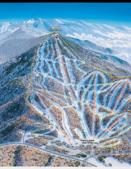
Pico Mountain Ski Trail Map
Ski trail map of Pico ski area, estimated 2002 map
22 miles away
Near Killington, Vermont

Pico Mountain Ski Trail Map
Trail map from Pico Mountain.
22 miles away
Near Killington, Vermont, United States

 click for
 Fullsize


0 Comments
New comments have been temporarily disabled.