Edit this map

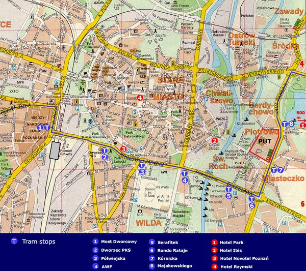
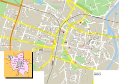
Poznan City Map

near Poznan, Poland

View LocationView Map

52.406374 16.9251681 13 satellite
Nearest Map »  Fullsize
956 × 8501.5 MBJPG

City map of Poznan with Tram stops and hotels

Created 2008 by PUT
From multimedia.edu.pl

Marjorie added
Feb 1, 2009

Rating
no ratings

See an error? Report it.

Keywords

transportation, city, tram, stops, hotels

0 Comments

New comments have been temporarily disabled.
See more

Nearby Maps

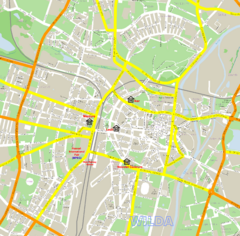
Poznan Street Map

Poznan Street Map

Street map of Poznan, Poland.

0 miles away

rated 3 by 1 person
Near Poznan, Poland
Poznan Street Map

Poznan Street Map

Street map of Poznan

0 miles away

rated 2 by 1 person
Near Poznan, Poland
Keywords: reference, street, city
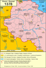
1378 Posen Map

1378 Posen Map

0 miles away

Near Posen
Keywords: history
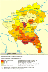
Posen Population Map

Posen Population Map

0 miles away

Near Posen
Keywords: reference
Poznan Tourist Map

Poznan Tourist Map

Tourist map of central Poznan, Poland. Shows tram stops, hotels, and other points of interest.

less than 1 mile away

rated 4 by 1 person
Near Poznan, Poland
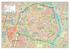
Poznan City Map

Poznan City Map

City map of center of Poznan, Poland. Shows bus and tram routes.

less than 1 mile away

rated 3 by 1 person
Near Poznan, Poland
See more