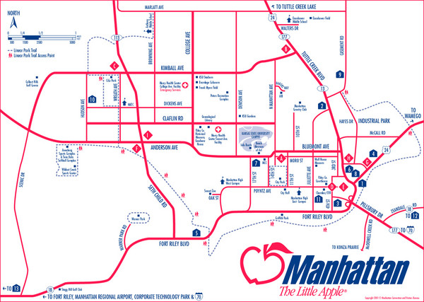
Manhattan (Kansas) City Map
near Manhattan, Kansas
See more
 See more
Nearby Maps

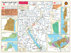
Tuttle Creek Lake Map
Army Corps of Engineers Map of Tuttle Creek Lake and adjoining State Parks.
11 miles away
Near Tuttle Creek Lake, KS

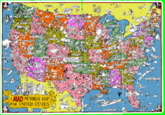
A MAD Pictorial Map of the United States - Front...
I found these raw assembled scans in a dieing torrent in 2010. Hash code...
49 miles away

Mont Bleau Ski Trail Map
Trail map from Mont Bleau. This ski area opened in 1965/66.
64 miles away
Near Hillsboro, Kansas, United States

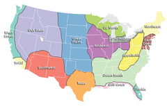
Regions of the United States Map
Appalachia- Hills, hills and more hills. Appalachian landforms contribute to landscapes of...
73 miles away
Near united states

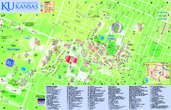
University of Kansas - Main Campus Map
University of Kansas - Main Campus Map. All areas shown.
74 miles away
Near Lawrence, KS

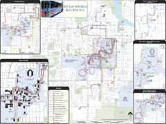
University of Kansas Bus Route Map
74 miles away
Near University of Kansas, Kansas

 click for
 Fullsize


0 Comments
New comments have been temporarily disabled.