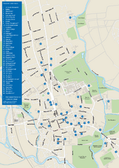
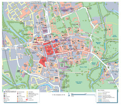
Oxford City Map
near Oxford, England, United Kingdom
See more
 See more
Nearby Maps

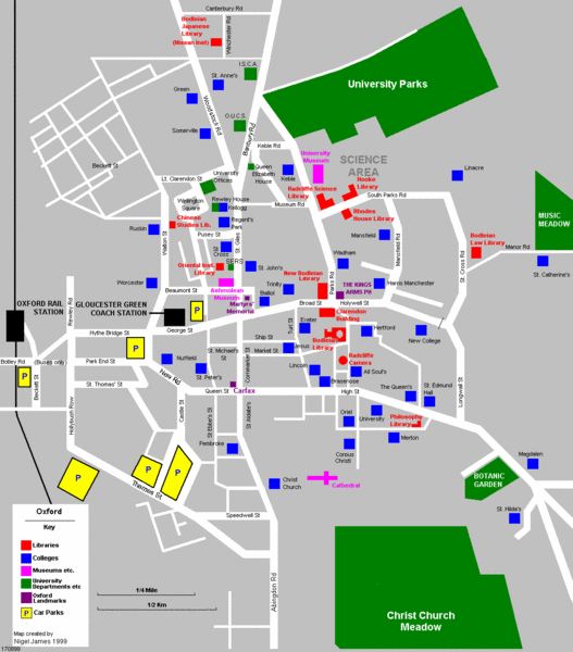
University of Oxford Campus Map
campus map
less than 1 mile away
Near University of Oxford, Oxford, UK

Steventon, South Oxfordshire Tourist Map
10 miles away
Near Steventon, South Oxfordshire

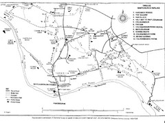
Whitchurch on Thames Walking Map
Guide to 12 walks around Whitchurch on Thames, UK
19 miles away
Near Whitchurch on Thames, Oxfordshire, UK

Henley-on-Thames Map
22 miles away
Near Henley-on-Thames, England

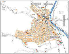
Henley-on-thames Map
Visitor Map of Henley-on-thames. Map shows location of most main roads, buildings, and parking.
22 miles away
Near Henley-on-thames, England

 click for
 Fullsize


0 Comments
New comments have been temporarily disabled.