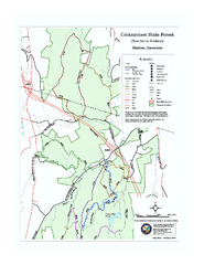
Cockaponset State Forest South Section trail map
near haddam, ct
See more
 See more
Nearby Maps

Cockaponset State Forest North Section trail map
Trail map for the north section of Cockaponset State Forest in Connecticut
3 miles away
Near haddam, ct

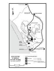
Gillette State Park trail map
Trail map of Gillette Castle State Park in Connecticut.
5 miles away
Near east haddam, ct

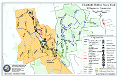
Chatfield Hollow State Park map
Trail map of Chatfield Hollow State Park
5 miles away
Near killingworth, ct

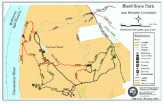
Hurd State Park trail map
Trail map for Hurd State Park in Connecticut.
7 miles away
Near east hampton, ct

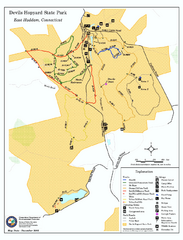
Devils Hophard State Park map
Trail and camprground map for Devils Hopyard State Park in Connecticut.
10 miles away
Near east haddam, ct

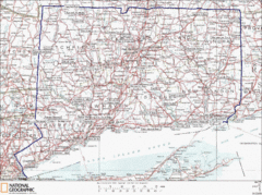
Connecticut State Parks Map
This is statewide map for Connecticut state parks. Go to the source website for detailed hiking...
10 miles away
Near Mount Parnassus, Connecticut

 click for
 Fullsize


0 Comments
New comments have been temporarily disabled.