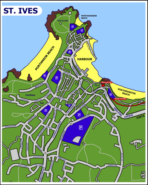
St Ives Cornwall Tourist Map
near St Ives, Cornwall
View Location
A large, detailed map of St. Ives. Marked with street names and many of the basic services such as car parks.
See more
 See more
Nearby Maps

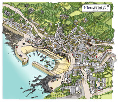
Mousehole map
Map of Mousehole. Aerial map of Mousehole, Cornwall.
9 miles away
Near Mousehole Cornwall

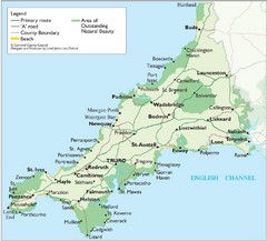
Cornwall Map
Map of Cornwall with detail of towns and cities
22 miles away
Near Cornwall, England, UK

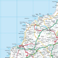
Cornwall Coast Map
Map of coast cities in Cornwall
22 miles away
Near Newquay, Cornwall, Great Britain

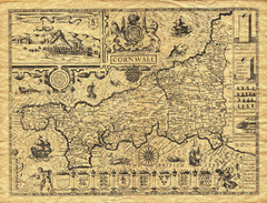
Old Maps: Cornwall Map
Map of Cornwall from The Theatre and Empire of Great Britain
29 miles away
Near Cornwall

St Issey in Bloom Map
32 miles away
Near pl27

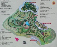
2000-2004 Eden Project Map
Guide to largest greenhouse in the world, the Eden Project
34 miles away
Near Eden Project, Cornwall, UK

 click for
 Fullsize


0 Comments
New comments have been temporarily disabled.