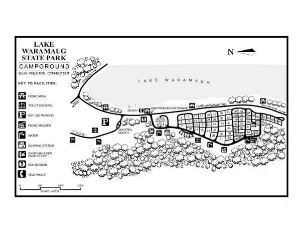
Lake Waramaug State Park campground map
near new preston, ct
See more

 See more
Nearby Maps

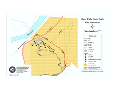
Kent Falls State Park trail map
Trail map of Kent Falls State Park in Connecticut.
5 miles away
Near kent, ct

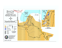
Mount Tom State Park trail map
Trail map of Mt. Tom State Park in Connecticut.
5 miles away
Near morris, ct

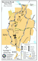
Macedonia Brook State Park trail map
Trail map of Macedonia Brook State Park in Connecticut.
7 miles away
Near kent, ct

Macedonia Brook State Park campground map
Campground map for Macedonia Brook State Park in Connecticut.
7 miles away
Near kent, ct

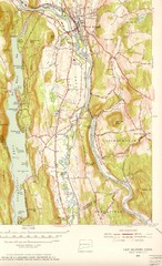
New Milford, Connecticut Map
New Milford, Connecticut topo map with roads, streets and buildings identified
8 miles away
Near New Milford, Connecticut

South Mohawk Mountain State Forest (Summer Trails...
Summer trails for South Mohawk State Forest in Connecticut.
8 miles away
Near cornwall, ct

 click for
 Fullsize


0 Comments
New comments have been temporarily disabled.