Grand Targhee Ski Trail Map
near 3300 E. Ski Hill Road, Alta WY 83414
View Location
Click “View fullsize” below to see the map.
43.7951368896574
-110.953502655029
13
satellite
Official ski trail map of Grand Targhee ski area from the 2007-2008 season.
See more
 See more
Nearby Maps

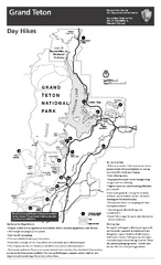
Grand Teton National Park Day Hikes Map
Shows suggested hikes and safety recommendations for day hikes in Grand Teton National Park, WY...
7 miles away
Near Grand Teton National Park, WY

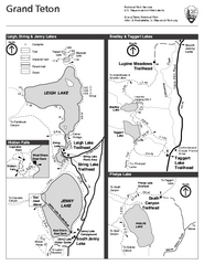
Grand Teton National Park Lakeshore Hiking Map
Shows scenic hikes around lakes such as Phelps, Jenny, Leigh and Taggart in Grand Teton National...
10 miles away
Near Grand Teton National Park, WY

Grand Tetons by Carvedmaps.com Map
Grand Tetons including Teton Villiage and Jenny Lake by carvedmaps.com
11 miles away
Near Grand Tetons

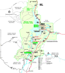
Grand Teton National Park Map - Summer
Official NPS summer map of Grand Teton National Park, Wyoming. The summer map includes all...
11 miles away
Near Grand Teton national Park, WY

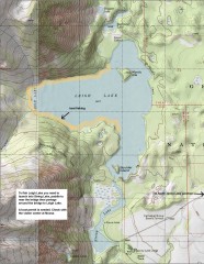
Leigh Lake Fishing Map
Fishing map of Leigh Lake in Teton National Park. From jackdennis.com: "Leigh Lake is a...
11 miles away
Near Moose, Wyoming

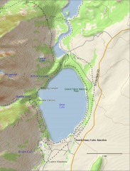
Jenny Lake Hiking Map
Shows hiking trails around Jenny Lake in Grand Teton National Park.
11 miles away
Near Moose, Wyoming

 Fullsize


0 Comments
New comments have been temporarily disabled.