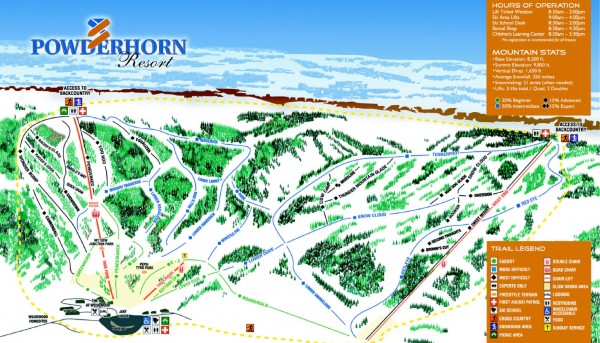
Powderhorn Ski Trail Map
near 48338 Powderhorn Road, Mesa, CO
See more
 See more
Nearby Maps

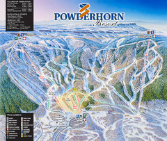
Powderhorn Resort Ski Trail Map
Trail map from Powderhorn Resort, which provides downhill and terrain park skiing. It has 4 lifts...
less than 1 mile away
Near Colorado, United States

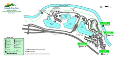
Island Acres State Park Map
Map of island acres section of the James M Robb Colorado River State Park
19 miles away
Near Clifton, CO

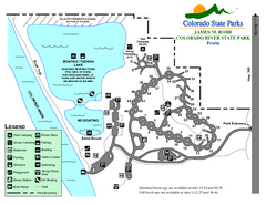
Fruita Area State Park Map
Map of fruita section of the James M Robb Colorado River State Park
21 miles away
Near Fruita, CO

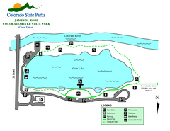
Corn Lake State Park Map
Map of corn lake section of the James M Robb Colorado River State Park
22 miles away
Near Clifton, CO

Vega State Park Map
Map of park with detail of recreation zones and campgrounds
22 miles away
Near Vega State Park, CO

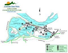
Connected Lakes State Park Map
Map of connected lakes section of the James M Robb Colorado River State Park
23 miles away
Near Clifton, CO

 click for
 Fullsize


0 Comments
New comments have been temporarily disabled.