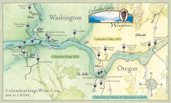
Columbia Gorge Wine Map
near Lyle, Washington
See more
 See more
Nearby Maps

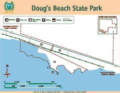
Dougs Beach State Park Map
Map of park with detail of trails and recreation zones
3 miles away
Near 79 State Road 14, Dallesport, WA 98617

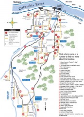
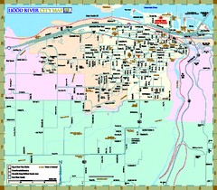
Hood River County Fruit Loop map
35-mile scenic drive through the valley's orchards, forests, farmlands, and friendly...
18 miles away
Near Hood River, Oregon

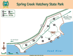
Spring Creek Hatchery State Park map
Map of park with detail of trails and recreation zones
20 miles away
Near 61552 State Road 14, Underwood, WA

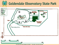
Goldendale State Park Map
Map of park with detail of trails and recreation zones
20 miles away
Near 1602 Observatory Drive, Goldendale, WA 98620

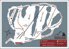
Cooper Spur Ski Area Ski Trail Map
Trail map from Cooper Spur Ski Area.
24 miles away
Near 10755 Cooper Spur Road, Mt. Hood, OR

 click for
 Fullsize


0 Comments
New comments have been temporarily disabled.