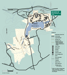
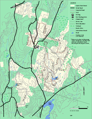
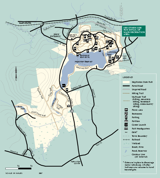
Hopkinton State Park trail map
near hopkinton, ma
See more
 See more
Nearby Maps

Hopkinton State Park trail map
Trail map of Hopkinton State Park in Massachusetts
0 miles away
Near hopkinton, ma

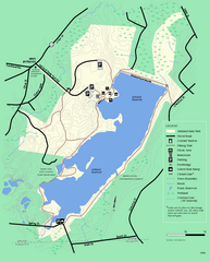
Ashland State Park Map
Clear map and legend marking trails, parking, facilities and more.
3 miles away
Near Ashland State Park, MA

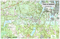
Ashland, MA - Topo Map
Map is provided by the town of Ashland, MA. See town's website for additional maps and...
3 miles away
Near Ashland, MA 01721 USA

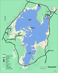
Whitehall State Park trail map
Trail map of Whitehall State Park in Massachusetts.
3 miles away
Near hopkinton, ma

Upton State Forest trail map
Trail map for Upton State Forest in Massachusetts.
5 miles away
Near upton, ma

 click for
 Fullsize


0 Comments
New comments have been temporarily disabled.