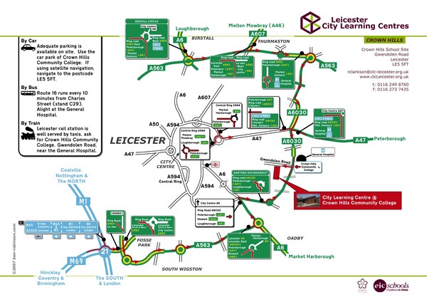
Leicester City Learning Centres Map
near Leicester, England
See more
 See more
Nearby Maps

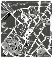
Loughborough Town Centre Map
10 miles away
Near Loughborough, Leicestershire, UK

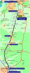
Nottingham Transport Map
A map showing train stations in Loughborough to Nottingham. Includes surrounding roads, towns...
16 miles away
Near Nottingham, UK

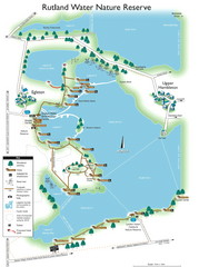
Map of Rudlin Nature Reserve
Full-color map of Rudlin Water Nature Reserve that includes the locations off all Footpaths...
19 miles away
Near Egleton

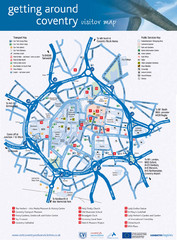
Coventry Tourist Map
Tourist map of central Coventry, England. Shows points of interest.
23 miles away
Near Coventry, England, UK

Weston Park Estate Map
25 miles away
Near Weston Park, Staffordshire, England

 click for
 Fullsize


0 Comments
New comments have been temporarily disabled.