Edit this map

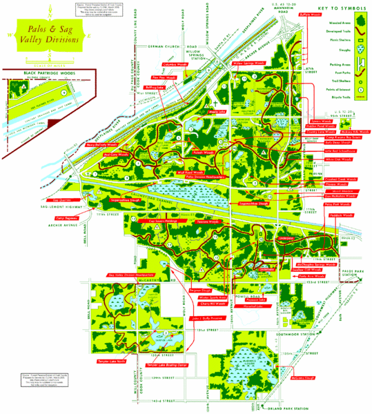
Palos & Sag Valley Map

near Palos & Sag Valley, Cook County, IL

View LocationView Map

41.7088042221581 -87.8604125976562 11 satellite
Nearest Map »  Fullsize
2352 × 2616279 KBGIF

Picnic Areas and Trail Map

Created 03/2000 by Forest Preserve Distring of Cook County
From users.rcn.com

trailster added
Jan 25, 2009

Rating
no ratings

See an error? Report it.

Keywords

recreation

0 Comments

New comments have been temporarily disabled.
See more

Nearby Maps

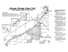
Chicago Portage Canoe Trail Map

Chicago Portage Canoe Trail Map

Map of the Chicago Portage Canoe Trail in western Cook County on the Des Plaines River, Illinois...

3 miles away

rated 2 by 1 person
Near Lemont, IL
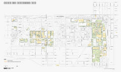
University of Illinois at Chicago Map

University of Illinois at Chicago Map

University of Illinois at Chicago Campus Map. All buildings shown.

5 miles away

Near University of Illinois, Chicago, Illinois
Tinley Creek Map

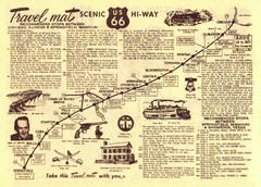
Tinley Creek Map

Picnic Areas and Trail Map

7 miles away

Near Tinley Creek, Cook County, IL
Keywords: reference
Route 66 Chicago, IL to Springfield, MI Map

Route 66 Chicago, IL to Springfield, MI Map

7 miles away

Near Route 66 - Chicago, IL to Springfield, MI
Westmont Park District Map

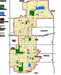
Westmont Park District Map

8 miles away

Near Westmont, IL
Keywords: reference
Tinley Creek Trail Map

Tinley Creek Trail Map

Bicycle trail map

8 miles away

Near Tinley Creek, Cook County, IL
Keywords: recreation
See more