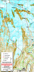
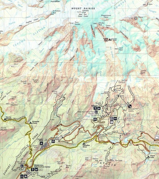
Pinnacle Saddle Trail Map
near Mount Rainier National Park, WA
See more
 See more
Nearby Maps

Mount Rainier Paradise Climbing Route map
Map shows all hiking and climbing routes originating from Paradise at 5,400 ft.
2 miles away
Near Mount Rainier National Park, WA

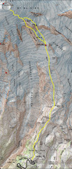
Mount Rainier Climbing Map
Guide to climbing Mount Rainier, Camp Muir Route
3 miles away
Near Mount Rainier, WA, US

Mt. Rainier Climbing Routes Map
Shows major climbing routes on Mt. Rainier on southwest part of mountain.
3 miles away

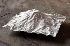
Mt. Rainier 3D Print Map
This is a 3D-printed map of the cone of Mt. Rainier in Washington, USA, including Liberty Cap, many...
5 miles away
Near Mt Rainier, Washington

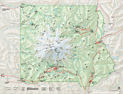
Mount Rainier National Park map
Official NPS map of Mt. Rainier National Park. Shows the entire park and surroundings
5 miles away
Near Mount Rainier National Park, WA

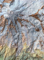
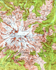
Mount Rainier Topographic Map
Guide to topography and glaciers of Mount Rainier
6 miles away
Near Mount Rainier, WA, US

 click for
 Fullsize


0 Comments
New comments have been temporarily disabled.