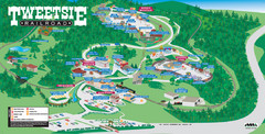
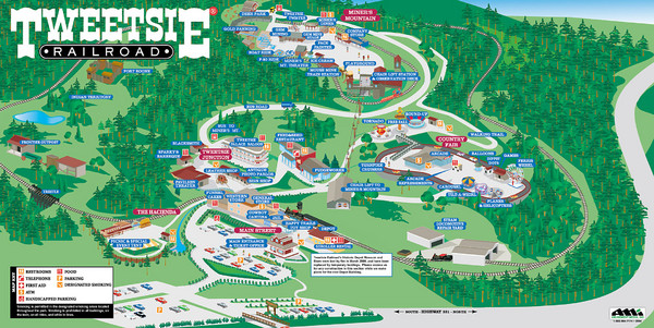
Tweetsie Railroad Park Map
near Tweetsie Railroad Lane,Blowing Rock, N.C., USA
View Location
Tweetsie Railroad is a unique attraction that allows children and families to explore their imaginations and a whole lot more. Be a cowboy, Indian or an engineer. And of course, every guest will want to take a ride on our historic steam locomotive, Number 12, listed on the National Register of Historic Places.
See more
 See more
Nearby Maps

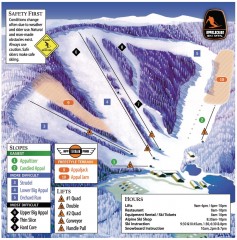
Appalachian Ski Trail Map
Official ski trail map of Appalachian ski area
less than 1 mile away
Near 940 Ski Mountain Road, Blowing Rock, NC 28605

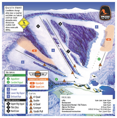
Appalachian Ski Mtn. Ski Trail Map
Trail map from Appalachian Ski Mtn..
less than 1 mile away
Near Blowing Rock, North Carolina, United States

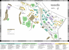
Appalachian State University Campus Map
Campus map of Appalachian State University in Boone, NC
4 miles away
Near Boone, NC 28608

Tweetsie Tourist Map
4 miles away
Near Tweetsie

 click for
 Fullsize




0 Comments
New comments have been temporarily disabled.