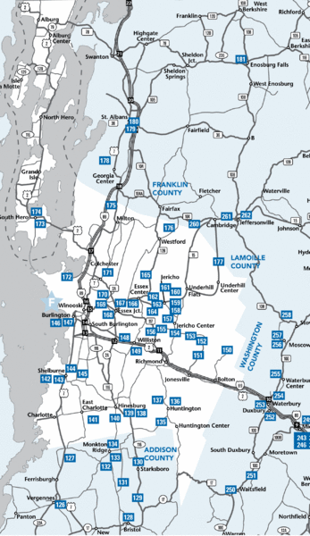
Chittenden County Map
near Chittenden County, VT, USA
See more

 See more
Nearby Maps

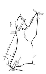
30K Race Course Map
Green Mountain Athletic Association Common to Common 30K Course Map in Essex Junction, VT
6 miles away
Near Essex Junction, VT · 05453-0194

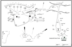
Underhill State Park Campground Map
Campground map for Underhill State Park in Vermont.
6 miles away
Near Underhill, Vermont 05490

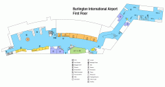
Burlington International Airport Terminal Map
Official Terminal Map of Burlington International Airport. All areas shown.
7 miles away
Near 1200 Airport Drive South Burlington, VT 05403

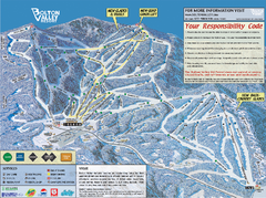
Bolton Valley Resort ski trail map
Official ski trail map of Bolton Valley ski area from the 2005-2006 season.
8 miles away
Near 4302 Bolton Access Rd, Bolton Valley, VT 05477

Bolton Valley Resort Ski Trail Map
Trail map from Bolton Valley Resort.
8 miles away
Near Vermont, United States

Burlington Vt 87 Map
Topographical map of the city of Burlington, Vt.
9 miles away
Near Burlington, Vt

 click for
 Fullsize


0 Comments
New comments have been temporarily disabled.