Ronald Reagan ULCA Medical Center Map
near Los Angeles, CA, US
See more

 See more
Nearby Maps

Ronald Reagan ULCA Medical Center Building Map
Pocket map to the medical center campus
less than 1 mile away
Near Los Angeles, CA, US

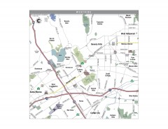
Westside Los Angeles, California Map
Tourist map of the Westside area of Los Angeles, California. Museums, parks, the UCLA campus, and...
2 miles away
Near century city, ca

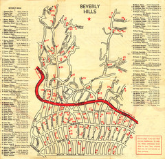
Beverly Hills stars homes map
2 miles away
Near beverly hills, ca

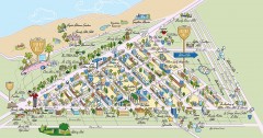
Beverly Hills, California Map
Tourist map of Beverly Hills, California. Shopping, restaurants, lodging and points of interest are...
3 miles away
Near beverly hills, ca

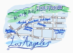
Los Angeles - hand drawn map
illustrated hand-drawn map produced for British airways - First Life magazine.
3 miles away
Near los angeles

Art Trek Tour Map, Santa Monica, California
Art Trek tour map of 93 of the 120+ museums, art galleries and public displays in Santa Monica...
3 miles away
Near santa monica, ca

 click for
 Fullsize


0 Comments
New comments have been temporarily disabled.