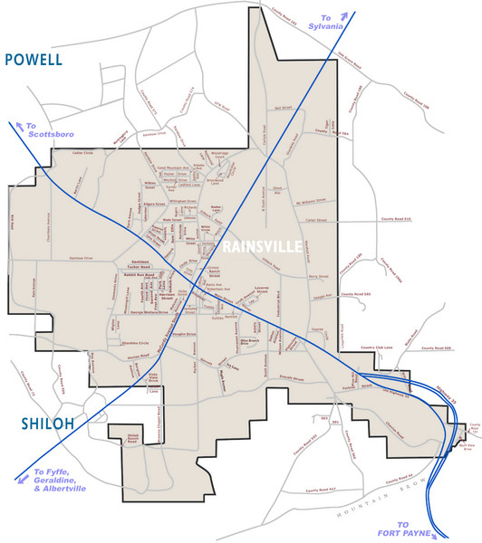
Rainsville Street Map
near Rainsville, AL, US
See more
 See more
Nearby Maps

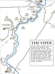
Little River Canyon Tourist Map
Little River Canyon, Alabama
16 miles away
Near Little River Canyon, Alabama

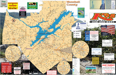
Guntersville Lake Map
18 miles away
Near Largest lake in Alabama

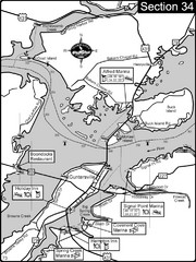
Guntersville, AL Tennessee River/Lake...
For boating navigational information and river road travel along the Tennessee River. This section...
26 miles away
Near Guntersville, al

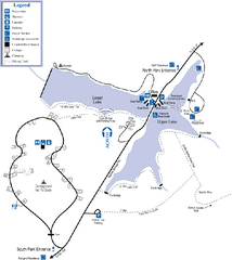
James H. Floyd State Park Map
Map of park with detail of trails and recreation zones
28 miles away
Near 2800 Sloppy Floyd Lake Rd, Summerville, GA

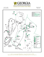
Cloudland Canyon State Park Map
Map of park with detail of trails and recreation zones
31 miles away
Near Rising Fawn, GA

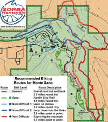
Monte Sano State Park Bike Routes Map
Recommended Biking Routes for Monte Santo with Easy to difficult routes marked.
42 miles away
Near huntsville, alabama

 click for
 Fullsize


0 Comments
New comments have been temporarily disabled.