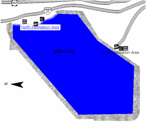
Willard Bay State Park Map
near Willard Bay State Park, UT, USA
View Location
Boat, swim, waterski, and fish on the warm waters of Willard Bay. Camp under tall cottonwood trees that frame the night sky. During winter months, Willard Bay is a wildlife watching area for nesting eagles. Two areas, North and South Marinas, offer all the amenities for a weekend at the Bay.
See more
 See more
Nearby Maps

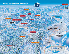
Utah mountain resorts Map
9 miles away

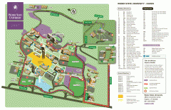
Weber State University Map
Weber State University Campus Map. All buildings shown.
10 miles away
Near Ogden, Utah

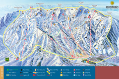
Snowbasin Mountain Trail Map
Ski trail map of Snowbasin Mountain
11 miles away
Near 3930 E 2900, Ogden, Utah, USA

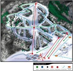
Wolf Mountain Ski Trail Map
Trail map from Wolf Mountain.
11 miles away
Near 3567 Nordic Valley Way, Eden, UT

 click for
 Fullsize

0 Comments
New comments have been temporarily disabled.