Whistler Blackcomb (Garibaldi Lift Co.) Biking Ski Trail Map
near Whistler, British Columbia, Canada
View Location
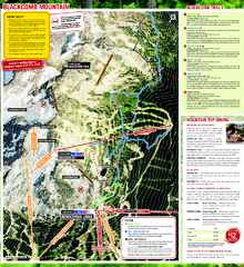
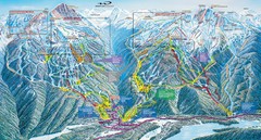
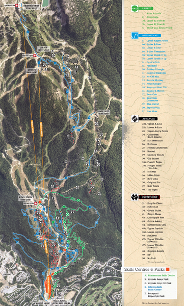
Trail map from Whistler Blackcomb (Garibaldi Lift Co.), which provides downhill, night, and terrain park skiing. It has 38 lifts servicing 200 runs; the longest run is 11000'. This ski area opened in 1965, and has its own website.
See more
 See more
Nearby Maps

Whistler Blackcomb (Garibaldi Lift Co.) Hiking...
Trail map from Whistler Blackcomb (Garibaldi Lift Co.), which provides downhill, night, and terrain...
0 miles away
Near Whistler, British Columbia, Canada

Whistler Village Map
less than 1 mile away
Near Whistler, BC, Canada

Whistler, CA Hiking and Biking Trails Map
less than 1 mile away
Near Whistler, Ca

Whistler Village Map
less than 1 mile away
Near Whistler, BC, Canada

Whistler Village Map
less than 1 mile away
Near Whistler, BC, Canada

Whistler Blackcomb Trail Map
less than 1 mile away
Near Whistler, BC

 click for
 Fullsize

0 Comments
New comments have been temporarily disabled.