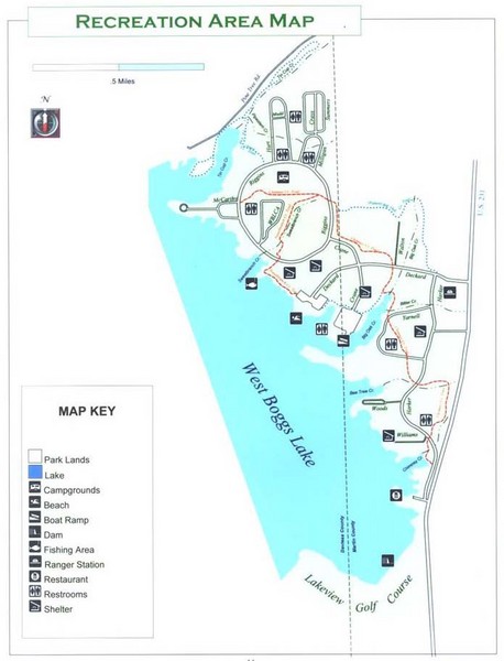
West Boggs Park Map
near West Boggs Park
See more
 See more
Nearby Maps

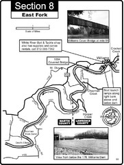
Williams, IN White River East Fork Map
This is a page from the White River Guidebook. The map shows important information for boaters and...
14 miles away
Near williams, IN

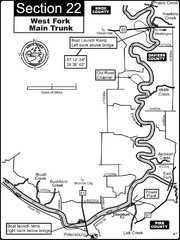
Petersburg, IN White River West Fork Map
This is a page from the White River Guidebook. The map shows important information for boaters and...
22 miles away
Near Petersburg, in

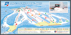
Paoli Peaks Ski Trail Map
Trail map from Paoli Peaks, which provides downhill, night, and terrain park skiing. It has 8 lifts...
26 miles away
Near Paoli, Indiana, United States

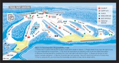
Paoli Peaks Ski Trail Map
Official ski trail map of Paoli Peaks ski area from the 2007-2008 season.
26 miles away
Near Paoli, IN 47454-0067

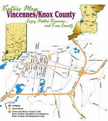
Vicennes and Knox County Indiana Visitor Map
Street map of Vicennes with maps of the entire state and county as well.
32 miles away
Near Vicennes, Indiana

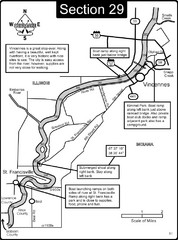
Vincennes, IN/ St. Francisville, IL Wabash River...
This is a page from the Wabash River Guidebook. The map shows important information for boaters and...
32 miles away
Near vincennes, in

 click for
 Fullsize

0 Comments
New comments have been temporarily disabled.