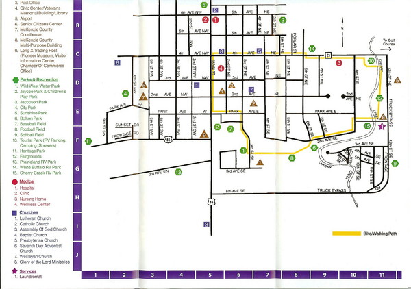
Watford City Map
near Watford, North Dakota, USA
View Location
Map of Watford City, McKenzie County, North Dakota. Includes streets, important buildings, parks, attractions and a walking path route.
See more
 See more
Nearby Maps

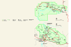
Theodore Roosevelt National Park Official Park Map
Official NPS map of Theodore Roosevelt National Park in North Dakota. Map shows both North and...
61 miles away
Near Theodore Roosevelt National Park

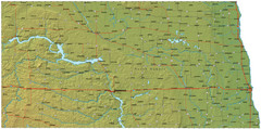
North Dakota Map
70 miles away
Near North Dakota, USA

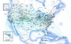
United Airlines North America Route Map
78 miles away
Near Emmet, North Dakota

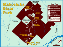
Makoshika State Park Map
To the Sioux Indians, Ma-ko-shi-ka meant bad earth or bad land. Today, as Montana’s largest...
83 miles away
Near Makoshika State Park, MT, USA

North Dakota Water Resources Map
North Dakota Counties, Rivers and Lakes Map
86 miles away
Near Lake Sakakawea, North Dakota

 click for
 Fullsize


0 Comments
New comments have been temporarily disabled.