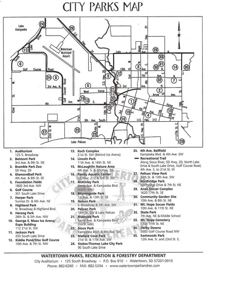
Watertown City Parks Map
near Watertown, South Dakota
See more
 See more
Nearby Maps

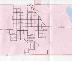
Clear Lake City Map
City map of Clear Lake, South Dakota with landmarks
24 miles away
Near Clear Lake, South Dakota

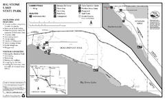
Big Stone Lake State Park Map
Map of park with detail of trails and recreation zones
42 miles away
Near Big Stone lake State Park, Ortonville, MN

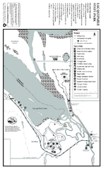
Lac Qui Parle State Park Map
Map of park with detail of trails and recreation zones
61 miles away
Near Lac Qui Parle State Park, MN

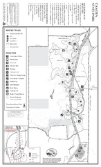
Camden State Park Winter Map
Map of park with detail of trails and recreation zones
70 miles away
Near 1897 Country Rd 68, Lynd, MN

Camden State Park Summer Map
Map of park with detail of trails and recreation zones
70 miles away
Near 1897 Country Rd 68, Lynd, MN

City of Marshall Visitor's Map
City of Marshall Visitor's Map describes the location of basic needs as well as recreational...
73 miles away
Near Marshall, Minnesota, USA

 click for
 Fullsize


0 Comments
New comments have been temporarily disabled.