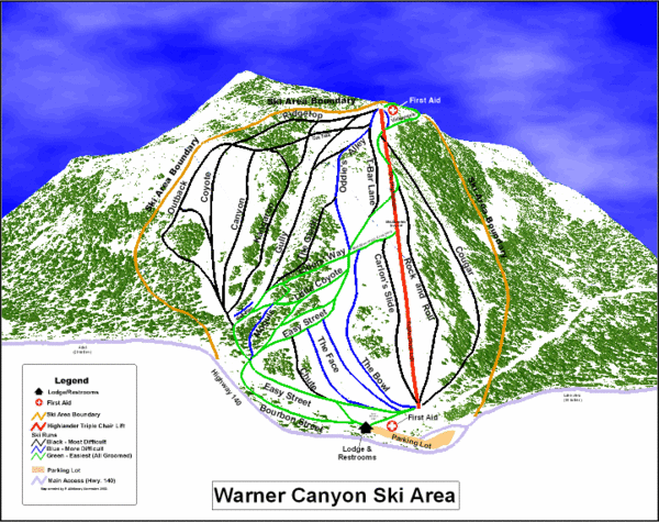
Warner Canyon Ski Trail Map
near Lakeview, Oregon, United States
See more
 See more
Nearby Maps

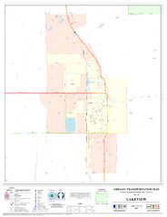
Lakeview Oregon Road Map
4 miles away
Near Lakeview Oregon

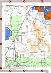
Clip10 Map
Visitor Maps of Modoc National Park, eastern part of the park includes all roads, camping areas...
33 miles away
Near Modoc, California, USA

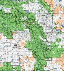
Modoc National Forest Map
Forest Visitor Map of the western most part of Modoc National Park. Includes county boundaries...
40 miles away
Near Modoc, California, USA

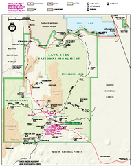
Lava Beds National Monument official park map
Official park map of Lava Beds National Monument. Shows trails, roads, cave entrances, and lava...
71 miles away
Near Lava Beds National Monument, CA

Modoc National Park Map
Visitor Map of Modoc National Park--Western Part. Includes the parameters of the Lava Beds...
74 miles away
Near Modoc, California, USA

Pacific Crest Trail Map
Shows entire route of 2,650 mile Pacific Crest Trail from Mexico to Canada.
75 miles away
Near Pacific Crest Trail

 click for
 Fullsize

0 Comments
New comments have been temporarily disabled.