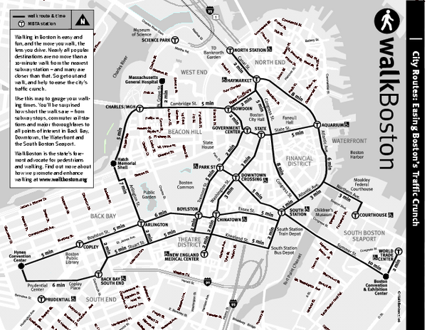
Walking Map of Boston, Massachusetts
near Boston, MA
View Location
Tourist map of Boston, Massachusetts, showing walking routes and times, as well as museums, squares, and other attractions.
Tweet
See an error? Report it.
Keywords
tourism, walking, north station, north end boston, north station, cemetaries, children's museum, suffolk university, temple street, duck tour map, museum, science, science, museum, fenway, park, holiday, inn, express, beacon, hill, north, end, boston, north, end, boston, south, station, to, 197, friend, street, boston, mass See more
 See more
Nearby Maps

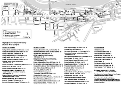
Boston University Charles River Campus Map
Campus map of Boston University. Charles River Campus. All areas shown.
0 miles away
Near Boston, Ma

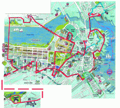
Boston 'Beantown Trolley' map
Tourist map of Boston, Mass. showing route of the Beantown Trolley, various points of interest and...
0 miles away
Near boston, massachusetts

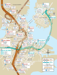
I-93 & I-90 Boston Map
Detail of exits and on-ramps for downtown Boston.
less than 1 mile away
Near Boston, MA

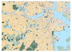
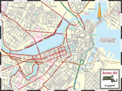
Boston, Massachusetts City Map
less than 1 mile away
Near Boston, Massachusetts

 click for
 Fullsize


1 Comments
needs more street details