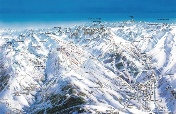
Valloire Pistes Ski Map
near Valloire
See more

 See more
Nearby Maps

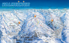
Valloire Vallorie and Valmeinier Ski Trail Map
Trail map from Valloire, which provides downhill skiing.
less than 1 mile away
Near Valloire, Rhône-Alpes, France

St Jean D'arves Piste Ski Map
10 miles away
Near St Sorlin d'Arves

Valfrejus Town Street Map
Street map of the ski resort town of Valfrejus, France. Shows points of interest.
11 miles away
Near Valfrejus, France

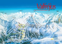
Valfréjus Ski Trail Map
Trail map from Valfréjus, which provides downhill skiing.
11 miles away
Near Fourneaux, Rhône-Alpes, France

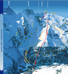
La Grave Ski Trail Map
Trail map from La Grave.
11 miles away
Near La Grave, Hautes-Alpes, Provence-Alpes-Côte...

La Norma Ski Trail Map
Trail map from La Norma, which provides downhill skiing.
13 miles away
Near Villarodin-Bourget, Rhône-Alpes, France

 click for
 Fullsize


0 Comments
New comments have been temporarily disabled.