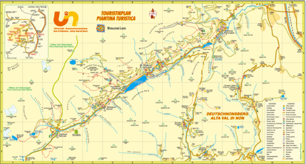
Ultental Deutschnonsberg St. Walburg Tourist Map
near St. Walburg, Italy
View Location
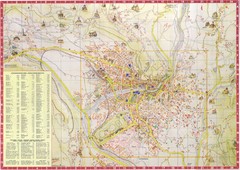
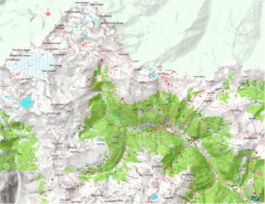
Tourist map of the southern Tyrol region around Ultental, Deutschnonsberg, and St. Walburg/ S Valburga, Italy. In German and Italian.
See more
 See more
Nearby Maps

Merano Map
12 miles away
Near merano, it

Val di Rabbi Topo Map
Detailed topographic map of Val di Rabbi, Italy on the edge of Stelvio National Park
13 miles away
Near Pracorno, Italy

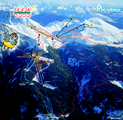
Meran Ski Trail Map
Trail map from Meran 2000, which provides downhill skiing. This ski area has its own website.
15 miles away
Near Avelengo - Hafling, Trentino-Alto Adige, Italy

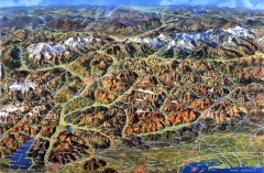
Eastern Alps Italy and Austria Overview Map
Panoramic map of the mountains and towns of northern Italy, the Tyrol, and southern Austria
16 miles away
Near Coller, Italy

 click for
 Fullsize


0 Comments
New comments have been temporarily disabled.