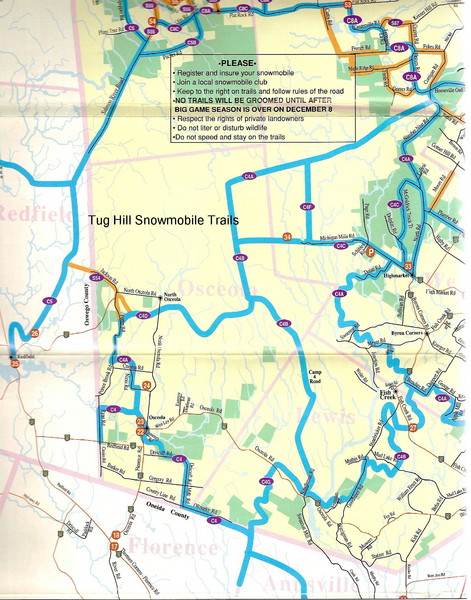
Tug Hill Trail Map
near Tug Hill, NY, US
See more
 See more
Nearby Maps

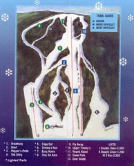
Woods Valley Ski Area Ski Trail Map
Trail map from Woods Valley Ski Area.
21 miles away
Near New York, United States

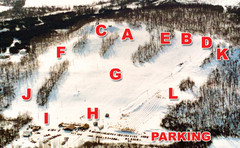
Dry Hill Ski Area Ski Trail Map
Trail map from Dry Hill Ski Area.
30 miles away
Near 23682 County Route 67, Watertown, NY

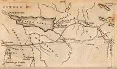
Antique map of Utica, NY from 1830
Map of Utica, NY from The Northern Traveller, and Northern Tour; with the Routes to The Springs...
33 miles away
Near utica, new york

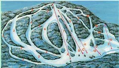
McCauley Mountain Ski Trail Map
Trail map from McCauley Mountain.
36 miles away
Near Old Forge, New York, United States

New York State Fairgrounds Map
40 miles away
Near New York State Fairgrounds, Syracuse, NY

 click for
 Fullsize


0 Comments
New comments have been temporarily disabled.