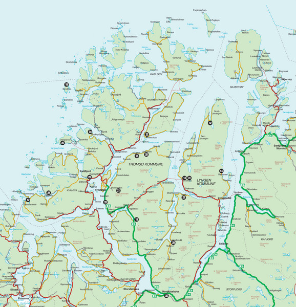
Tromso Lyngen Region Overview Map
near Tromso Norway
View Location
Reference map of Tromso, Norway region above the Arctic Circle. Shows roads and major ferry routes.
See more
 See more
Nearby Maps

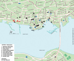
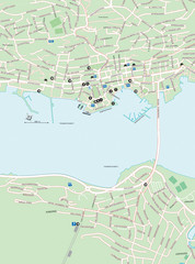
Tromso Tourist Map
Tourist map of central Tromso, Norway showing all hotels.
10 miles away
Near Tromsø, Norway

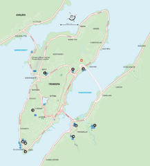
Tromso Overview Map
Overview map of Tromso, Norway island. Shows major roads and streets.
10 miles away
Near Tromso, Norway

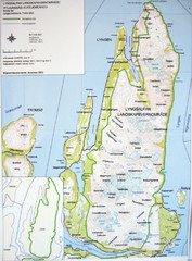
Lyngen Peninsula Map
Topo map of the northern Lyngen Peninsula near Tromso, Norway. Shows peaks. From photo.
24 miles away
Near Lyngen, Norway

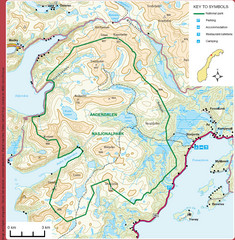
Anderdalen National Park Map
Topo map of Anderdalen National Park on Berg Senja, Norway
54 miles away
Near Anderdalen National Park, Norway

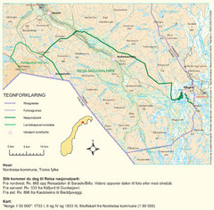
Reisa National Park Map
Overview map of Reisa National Park, Norway on the border with Sweden.
65 miles away
Near Reisa National Park, Norway

 click for
 Fullsize

0 Comments
New comments have been temporarily disabled.