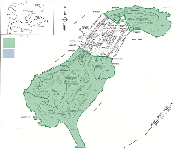
Thompson Island Easement Map
near Boston, Massachusetts, USA
View Location
Map of Thompson Island easement. Includes roads, buildings, trails and attractions as well as the conservation areas of Thompson Island, Massachusetts.
See more
 See more
Nearby Maps

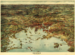
Walker's Map of Boston Harbor and Environs...
Walker's map of Boston Harbor and immediate environs from 1905.
4 miles away
Near boston harbor

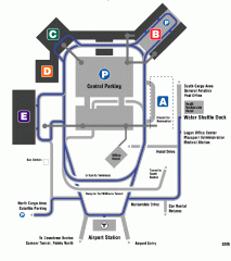
Boston/General Edward Lawrence Logan...
Terminal map of Boston/General Edward Lawrence Logan International Airport. Shows all areas.
4 miles away
Near Boston/General Edward Lawrence Logan...

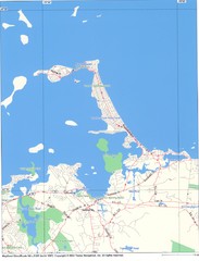
Hull Town Map
5 miles away
Near Hull, MA

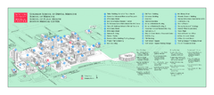
Boston University Medical Campus and Boston...
Boston University Medical Campus and Boston Medical Center area map. All buildings shown.
6 miles away
Near Boston, Ma

Northeastern University Map
Northeastern University Campus Map. All areas shown.
6 miles away
Near Boston, Massachusetts

 click for
 Fullsize


0 Comments
New comments have been temporarily disabled.